Surveying
Weekly drone surveys become standard on major UK construction sites
Progress tracking, stockpile volumes and as-built checks are moving from monthly to weekly as contractors lean on aerial data.
14 October 2026 · 6 min read
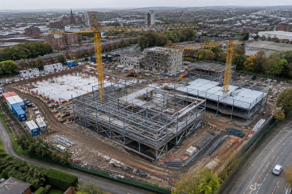
On large construction sites, a routine drone flight now produces orthomosaics and 3D models that the whole project team can access within hours.
Contractors use the outputs to verify progress against programme, calculate earthworks volumes and resolve disputes with a clear visual record.
As photogrammetry and RTK positioning improve, surveyors say the question is no longer whether to fly, but how often.